Painted Desert-Petrified Forest Backpacking Trip, November 2006: Day 1
Added 1 January 2007
Day 1 | Day 2 | Day 3
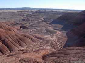
Steve, a friend from New Mexico, and I decided a couple of months prior to plan a backpacking trip for the 3-day Veterans Day holiday. After weighing a few options, we opted for a trip into the Painted Desert Wilderness Area, within Petrified Forest National Park. The Painted Desert Wilderness occupies some 43,020 acres within the northern part of the larger National Park, and is bounded elsewhere by the Dinetah, or the land of the Dine, more commonly known as the Navajo Indian Reservation. While it may seem a bit odd for two people who prefer warm weather camping to chose northern Arizona in November for a trip, there is one key factor galvanizing our resolve to shrug off the cold: water. For all intents and purposes, there isn't any in the wilderness, meaning we would have to carry all the water we would need for drinking and cooking for three days. In cooler weather, we wouldn't need as much water to stay hydrated. So while we could have chosen a slightly more pleasant time of year to go to the Painted Desert, we knew that November would be a good compromise between weather and water.
Even so, we both carried very near 30 pounds worth of water a piece, some of that as a margin of safety. Water accounted for roughly half of our total pack weight.
After working late all week, I bolted out of the office at 4:30 Thursday afternoon and never looked back, knowing that Steve was probably leaving Santa Fe at that exact moment. My goal was to beat rush hour traffic in Tucson for the drive up to Holbrook. I succeeded only partially, and made it up to Holbrook by about 9:15 that night. Steve beat me to the Motel 6 by about 15 minutes, as our drive times were nearly identical. 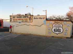 The Motel 6 in Holbrook isn't (hopefully) a bright shining star of the Motel 6 chain, but it was cheap and perfectly passable for two guys who were going to spend the next couple of nights sleeping on the ground in the middle of nowhere. My only gripe was that there was a big hole in the middle of my bed that kept sucking me in like a singularity.
The next morning, since we couldn't get into the park to get our backpacking permit until eight o'clock, we went out to find a nice breakfast before heading out. Apparently, Holbrookians aren't big breakfast fans. We passed a handful of restaurants that were closed before finding Joe and Aggie's Cafe, near the intersection of Highway 180 and Highway 77. It looked sufficiently hometowny in a largely Interstate dominated town, so we stopped in for a bite to eat. (Not that we had a plethora of options at our disposal anyway.)  Reinforcing the whole adversity of Holbrook to breakfast, even at around 7:00 a.m., we were the only customers in the place. We had a nice breakfast and good service, and hit the road to the park by about a quarter to eight. I opted for taking the highway to the park instead of the Interstate.
  There are two entrances to the park, the northern one off of the Interstate, and a southern one off Highway 180, and it's about 28 miles up a sliver of land from one to the other.
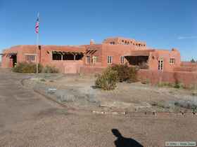 We paid our entrance fees to the park and headed north to our departure point. We stopped a few times along the way at some points of interest. I wanted to stop more places, but also wanted to make sure we had enough time to reach our destination for the evening, so made a plan to return to see more of the main part of the park on my way home at the end of the trip. We got to the Painted Desert Inn at Kachina Point at around 9:30 Friday morning and got our backpacking permits, which are free but required. From the reaction of the park ranger, I got the distinct impression that they don't often get backpackers there (my kind of place!). It took some rooting around for him to find the forms, and he kind of fumbled through the necessary documents.

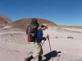
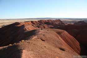
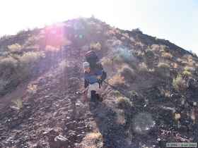 By ten o'clock or so, we were on the "trail." Since there are no hiking trails in the National Park that I'm aware of, we simply dove off of the rim of the mesa and searched for either the path of least resistance or the path of greatest beauty, which were often one in the same. The descent can be a bit treacherous with a heavy pack, at least by the route we took, but we made it down without incident.
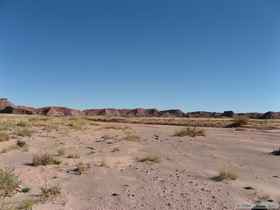
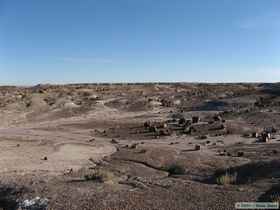
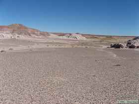
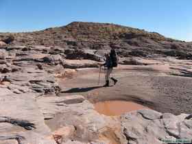
 We then made our way to Lithodendron Wash and started hiking upstream. I was very surprised to note that the bed of the wash was often damp, and even more surprised when we found scattered pools of standing water in the wash. I had expected bone dry.
We found out later that the area had received a substantial rain a week and a half prior. It was evident that Lithodendron Wash had been flowing quite heavily at that time based on some key flood indicators I noticed. It appeared as though the wash had been flowing several feet deep; a rather significant amount of water for a wash that is often 100 feet or more across and for one in such a dry land. Though it would be fantastic to see the wash in flood stage, I know that I wouldn't want to be hiking out there when it's wet. The soils within much of the National Park are composed of fine silts and clays, often of the sticky, expanding/contracting kind. When wet, they are best avoided, or you will soon find your boots caked with some 10 pounds of mud a piece. I tested some of the mud, and a single light foot step could easily accumulate an inch or more of mud on the bottom of my boot when raised up. The silts and clays helped keep the pools of water from infiltrating, which I'm sure the animals appreciate, if they dare get close enough to them. I didn't actually notice many tracks leading up to the pools. Perhaps the animals have learned to be wary of the soft ground around the pools. Certainly, even beyond the mud, quicksand is a definite possibility as well.
So needless to say we stepped deliberately and somewhat cautiously as we made our way up the wash. After hiking a little ways, we stopped for a quick break, and Steve turned to his pack and noticed water pouring down off the rock it was on. In a panic, we flung gear out of his pack to get down to his water containers and stop stem the tide of this most precious cargo seeping into the desert floor. As it turned out, the pack was just compressing the bite valve on his drinking tube, so he didn't have a catastrophic failure. After he got everything back in his pack, we started back up the wash.
However, we didn't make it very far. I felt a drip on my leg and reached back to find the bottom of my pack soaking wet. I knew it wasn't my bite valve, so it became my turn to excitedly heave my gear onto the desert floor digging for water in my pack. In my case, it was a nozzle that had turned itself loose, so I cranked it back down, checked everything else, then repacked my bag. As we hiked on, I kept checking my bag with a nagging fear that I still had a water leak. The last thing we would need is to lose all of our water to silly accidents.

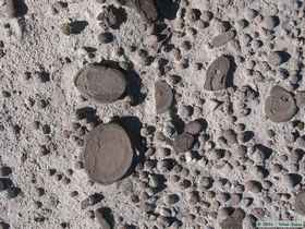 Since we were both carrying all our water, neither one of us had a filter with us, so we couldn't have made safe drinking water in an emergency. Of course, in a true emergency, Steve would have had the opportunity to take a picture of me lapping my tongue in one of those pools in the wash! From now on, at least a few water purification tablets are going into my emergency kit.
After a mile and a half or so, we left Lithodendron Wash and headed northwest up a tributary to try to find Onyx Bridge, a bridge formed by a black petrified log. Either the map is wrong, or Onyx Bridge no longer exists as such.

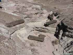
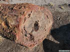
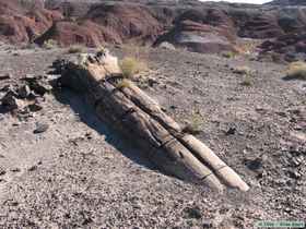
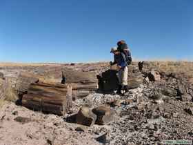
We found a huge petrified log at the coordinates I had for the bridge, but it didn't appear to have ever been a bridge, and wasn't onyx colored either. 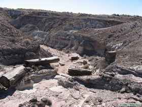 After emptying my pack once more to check for a leak and let the pack dry out a bit, Steve and I wandered around the area trying to investigate the mystery of the disappearing bridge, and found a more likely candidate, though it wasn't a bridge either. What we found was at least onyx colored, and there were two portions of it sticking out of opposite banks of the wash, with a huge section missing in the middle over the wash itself. My only guess is that the log was once intact and did indeed form a bridge. The center section of the log is laying in the wash below where it must have once been suspended.
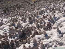
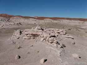
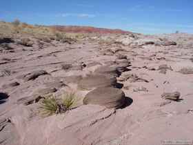
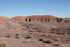
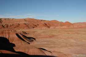
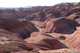
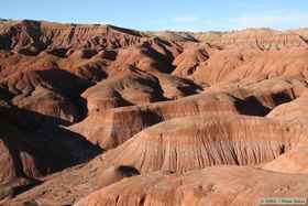
 While we didn't exactly find what we had expected, it was still a nice little side trip. It gave us the opportunity to see some other interesting geologic and erosional features. Steve and I were continually fascinated by the thousands of hoodoos ranging in scale from the truly miniscule up to the size of a large tree stump.
  Often they were formed by a slightly more erosion resistant rock forming a cap, around which the less resistant ground would erode away. This formed whole slopes of small table-like platforms.
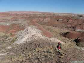
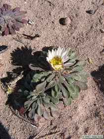
Instead of backtracking to Lithodendron Wash, we struck out northeast over hill and dale to reconnect with the wash further north. We encountered some lovely grasslands along the way and despite the areas apparent barrenness, there was a surprising amount of plant diversity to be found. We even found quite a few plants that were still flowering, apparently using the recent rains as an excuse to exert themselves for one more chance at reproduction, despite the lateness of the season.
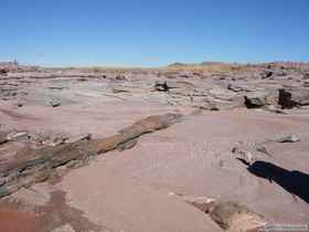
 We had lunch near a large pool in Lithodendron Wash. After lunch we continued north a short distance before splitting off to the north up a tributary as Lithodendron Wash veered to the northeast. Our goal was the base of Chinle Mesa. I had originally planned on camping on the east side of the mesa to put the morning sun to greatest effect, but we made a course correction and made our way to a camp on the south side of the mesa. With the sun tracking low in the southern sky, this allowed us to gather both morning and evening sun, and had the added bonus of putting us closer to Pilot Rock, our destination for day two.
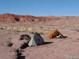
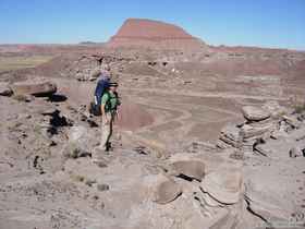
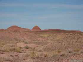
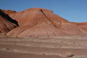
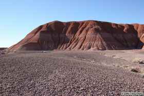
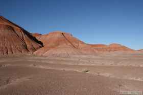
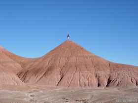
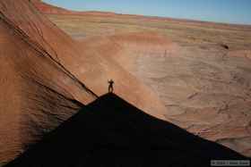
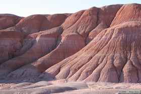
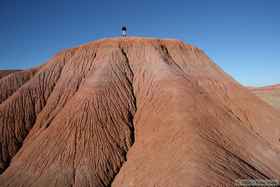
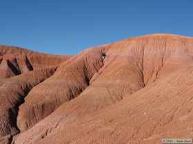
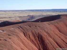
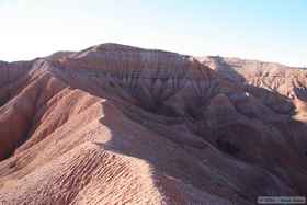
 We still had some daylight left after setting up camp, so set out to explore Chinle Mesa. Upon reaching the mesa, we quickly realized that our plan wouldn't be as straight-forward as anticipated. The base of Chinle Mesa is a steeply sloped, heavily eroded, treacherously surfaced badland, the scaling of which would require careful consideration and even more carefully planned foot steps.
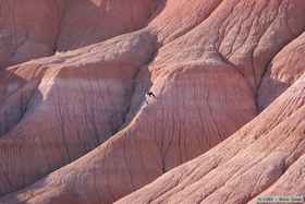
  A fall would not likely have been deadly, but it certainly would have been unpleasant. Steve discovered that the erosion rills could be used to excellent effect in climbing the steep slopes, which I would estimate easily exceeded 45 degrees.
After a few failed attempts, and some simple poking around the lower slopes, we made an assault on the mesa itself. We made it to the top of the southeast portion of the mesa, but didn't go as far as the top of the larger mesa itself, as we were beginning to run out of light. We found a different way down and exited the mesa through a narrow, winding ravine, all the while marveling at the geology and geomorphology of the area.
 The consistent wind cooled the evening off very rapidly, and once back at camp, we weren't long in donning additional layers of clothing to keep warm. Since campfires are prohibited within the National Park, all we had was our own body heat to keep us warm until sunrise. It was with some sense of forboding that we both entered our tents shortly after dinner. Neither one of us would normally retire to the tent by six o'clock, and we both felt that we'd be going nuts by morning after so much time in a tent. It turns out my concerns were unwarranted. I resolved to read my little book and write a bit to pass some time, but I only lasted about 30 minutes before falling asleep. I woke up a couple of hours later, read for another 15 minutes, then fell asleep again. I woke up periodically throughout the night, but essentially slept until around seven o'clock the next morning. I must have been in more desperate need of sleep than I had realized.
Day 1 | Day 2 | Day 3
 The Motel 6 in Holbrook isn't (hopefully) a bright shining star of the Motel 6 chain, but it was cheap and perfectly passable for two guys who were going to spend the next couple of nights sleeping on the ground in the middle of nowhere. My only gripe was that there was a big hole in the middle of my bed that kept sucking me in like a singularity.


