Hummingbird Springs Wilderness Area Backpacking Trip November 2004: Day 2
Added 18 November 2004
Day 1 | Day 2 | Day 3
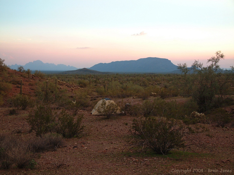
 Since our plans got changed on Friday and we only hiked half the planned distance, we decided to basically change everything. Instead of packing up and moving near to Hummingbird Springs and our water stash, we decided to stay camped in the same spot and just hike light to pick up our water and bring it back. We were lazy bums though, and didn't head out until around 10 o'clock.
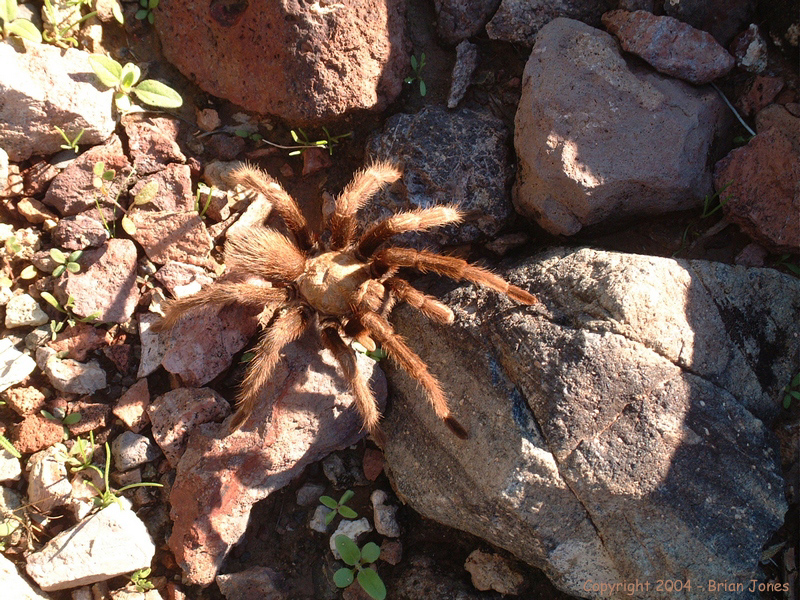
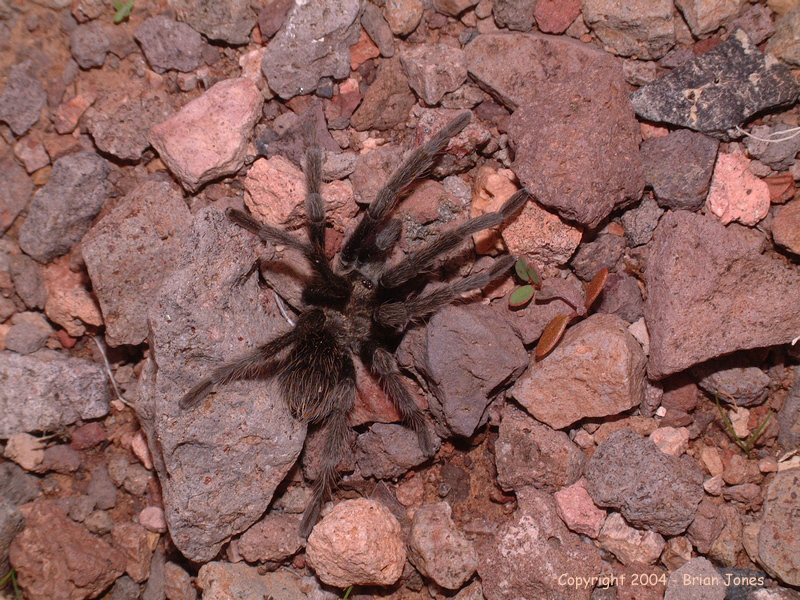
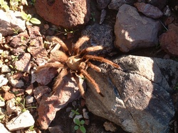 Soon after we started hiking, Jeff nearly stepped on a tarantula.
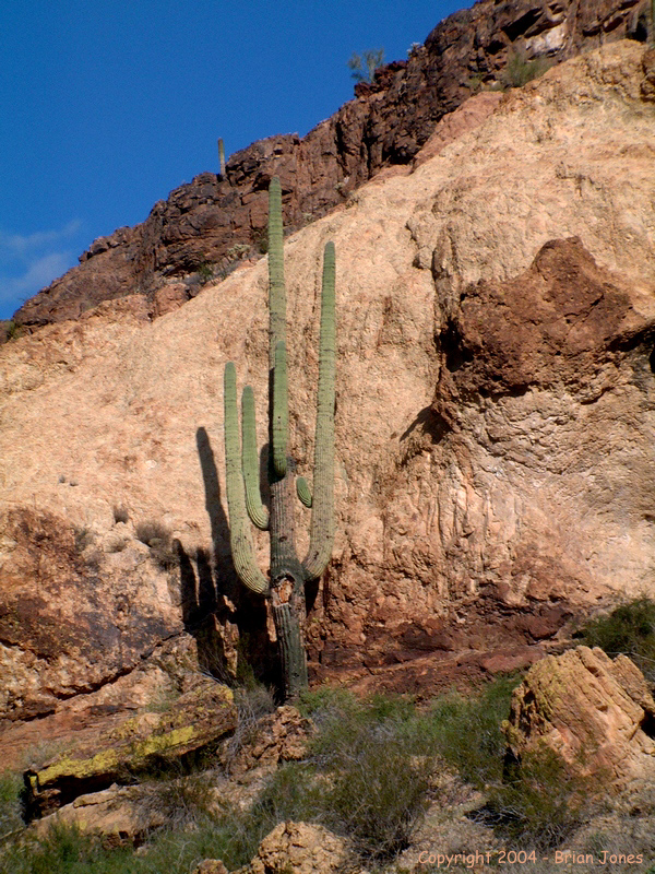
  As we watched it, we noticed that it had NINE legs! As it turns out, the "ninth leg" is a pedipalp, or feeding appendage. There should be two, but apparently he lost the other one, probably in a bar brawl. Here is a really great web site (pdf format) on tarantulas! The Natural History of Tarantula Spiders by Richard C. Gallon As we continued across the valley floor, occasionally slowed by a steep-sided arroyo, we enjoyed the beautiful day and the open desert.
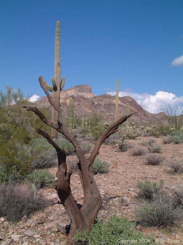
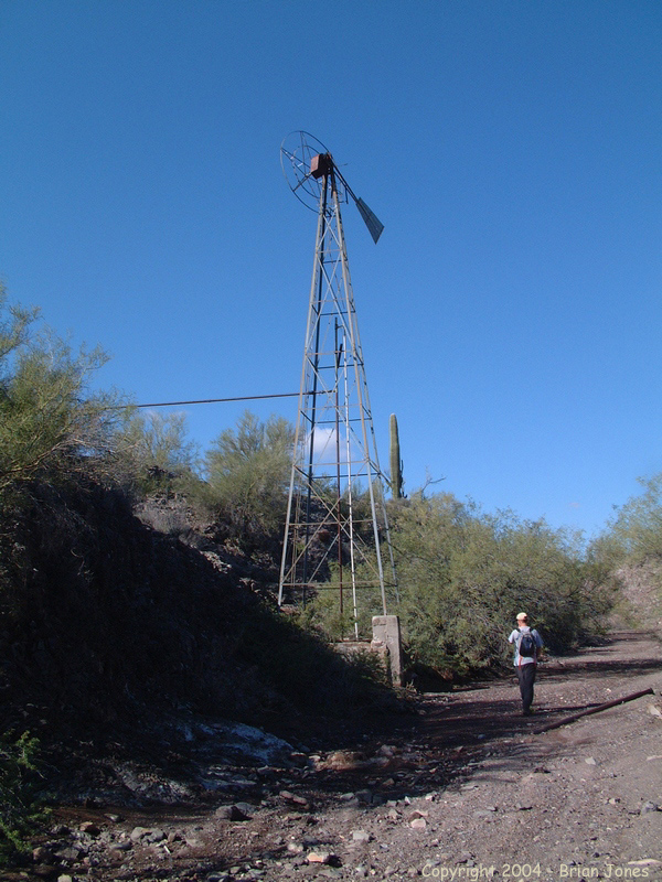
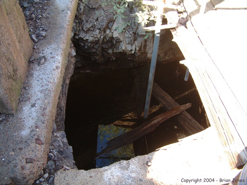
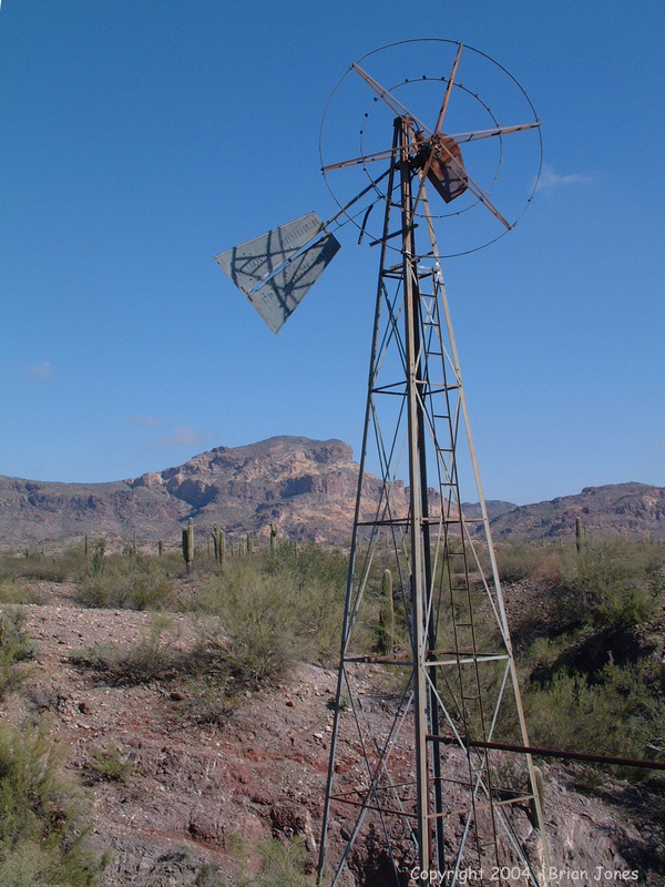
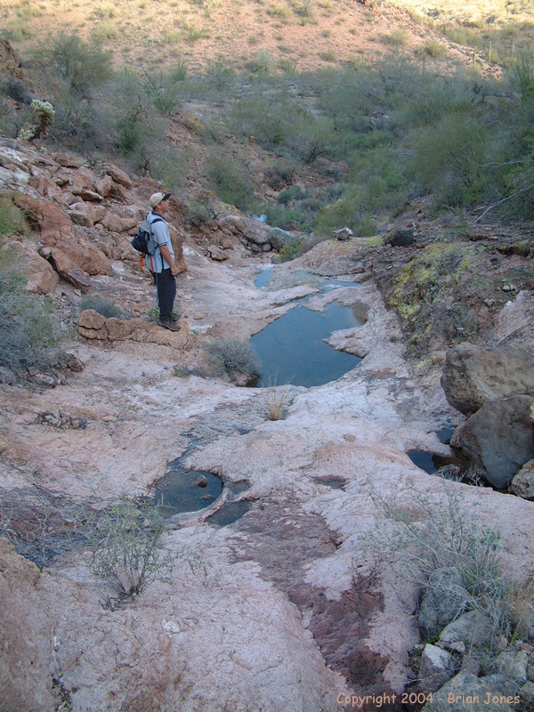
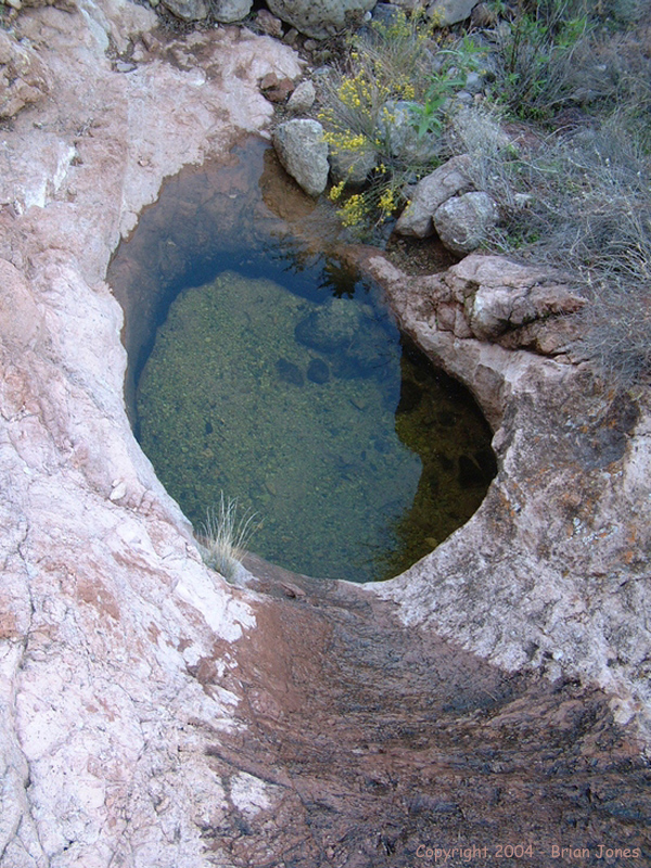
After about 2.5 miles we came to Hummingbird Springs, which is easy to find because it is marked by a corral and a windmill. The base of the windmill is down in the wash, and when we checked it out we discovered that there was quite a bit of water in the basin. We couldn't tell how fresh the water might or might not be, but I definitely wouldn't drink it without filtering it. Since I didn't see any evidence of water escaping from the concrete basin, I can only imagine that the water doesn't get recycled often and probably isn't very clean because of that. I should also note that with the recent rains there was a fair amount of water to be found throughout the wilderness area where boulders or bedrock form natural bowls. Again, I wouldn't rely on these as a source of water, but if you go during a rainy period, I imagine you could be reasonably sure of having at least emergency water.
> We took a slightly different route on the way back, just to add a little variety to the scenery. Jeff managed to find another creature by nearly stepping on it.
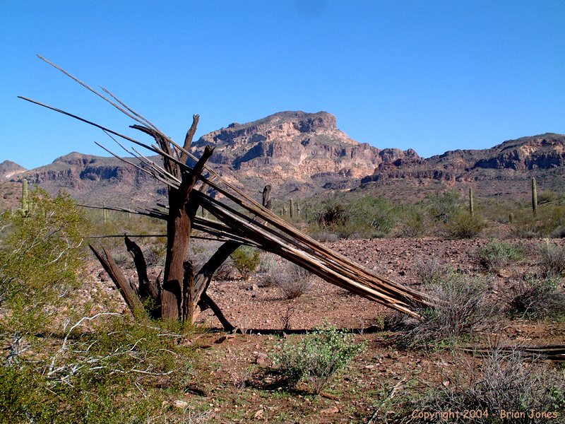
 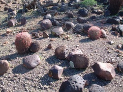 This time it was a Western Patchnose snake (Salvadora spp., I couldn't positively identify the subspecies because it escaped into a hole too quickly for me to take a good look at it or get a picture but I think it was a Salvadora grahamiae.) Also along the way we saw more rocks with desert varnish on them, as well as some excellent examples of desert pavement, including one area of desert pavement with a very old trail etched into it. The ancient trail inspired me to write the following:
_____________________
Truly Free Ways
In the dark brown desert pavement
winds an ancient way,
marked by a parting of rocks
and worn down an inch or two;
found again after unknown decades.
The ways in the wilderness are limitless
yet this short stretch got used more than others,
found now as others found it;
a convenient convergence between A's and B's.
A pleasant way in an inspiring land.
But ways are different now,
and though new ways are called free,
they confine and confound.
Primitive paths know more.
_____________________
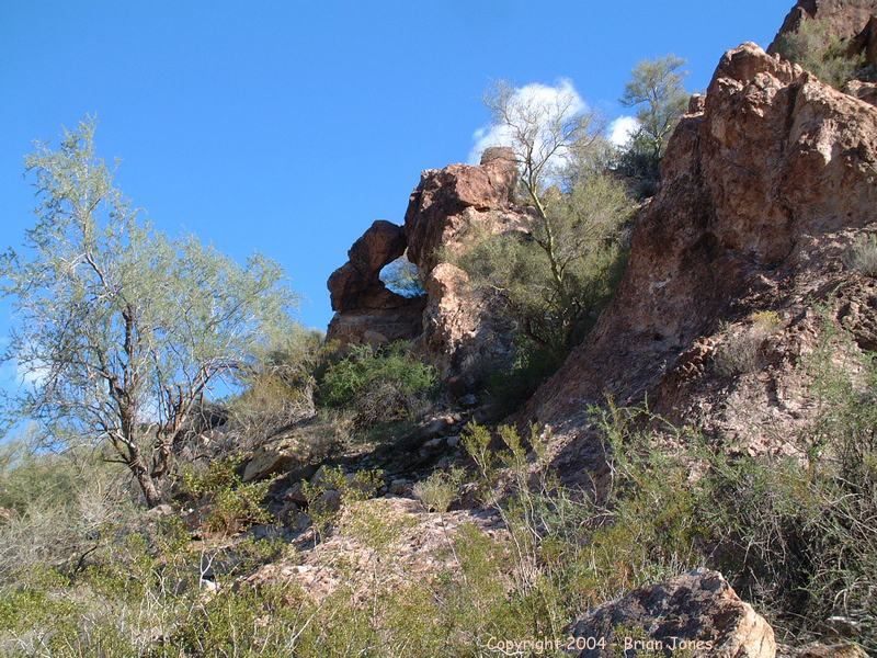
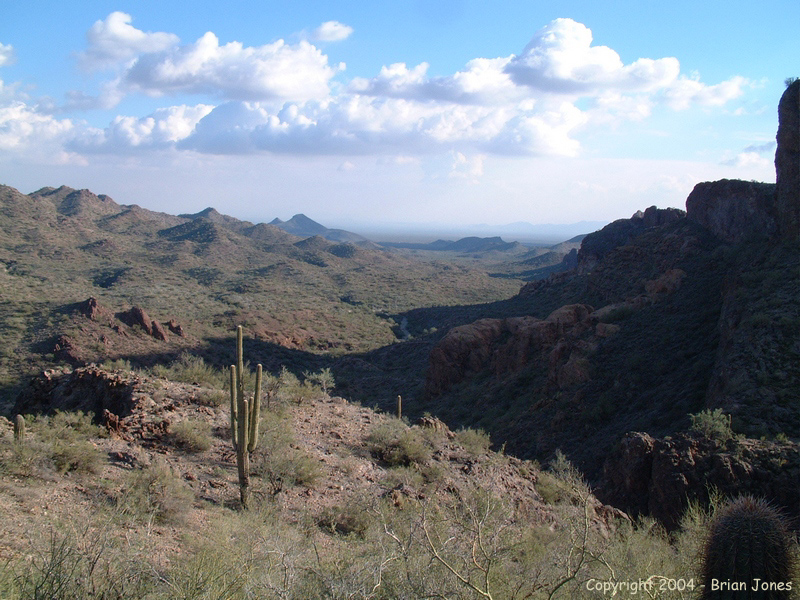
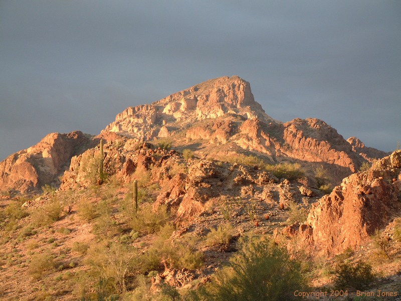
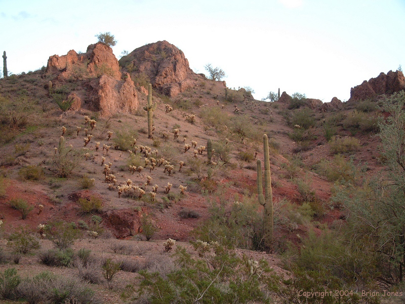
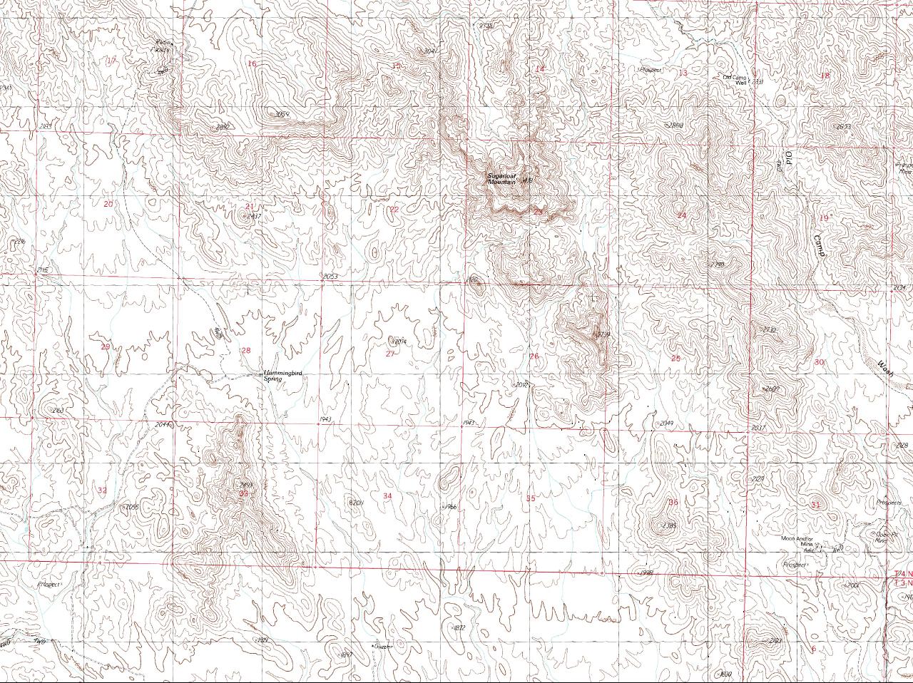
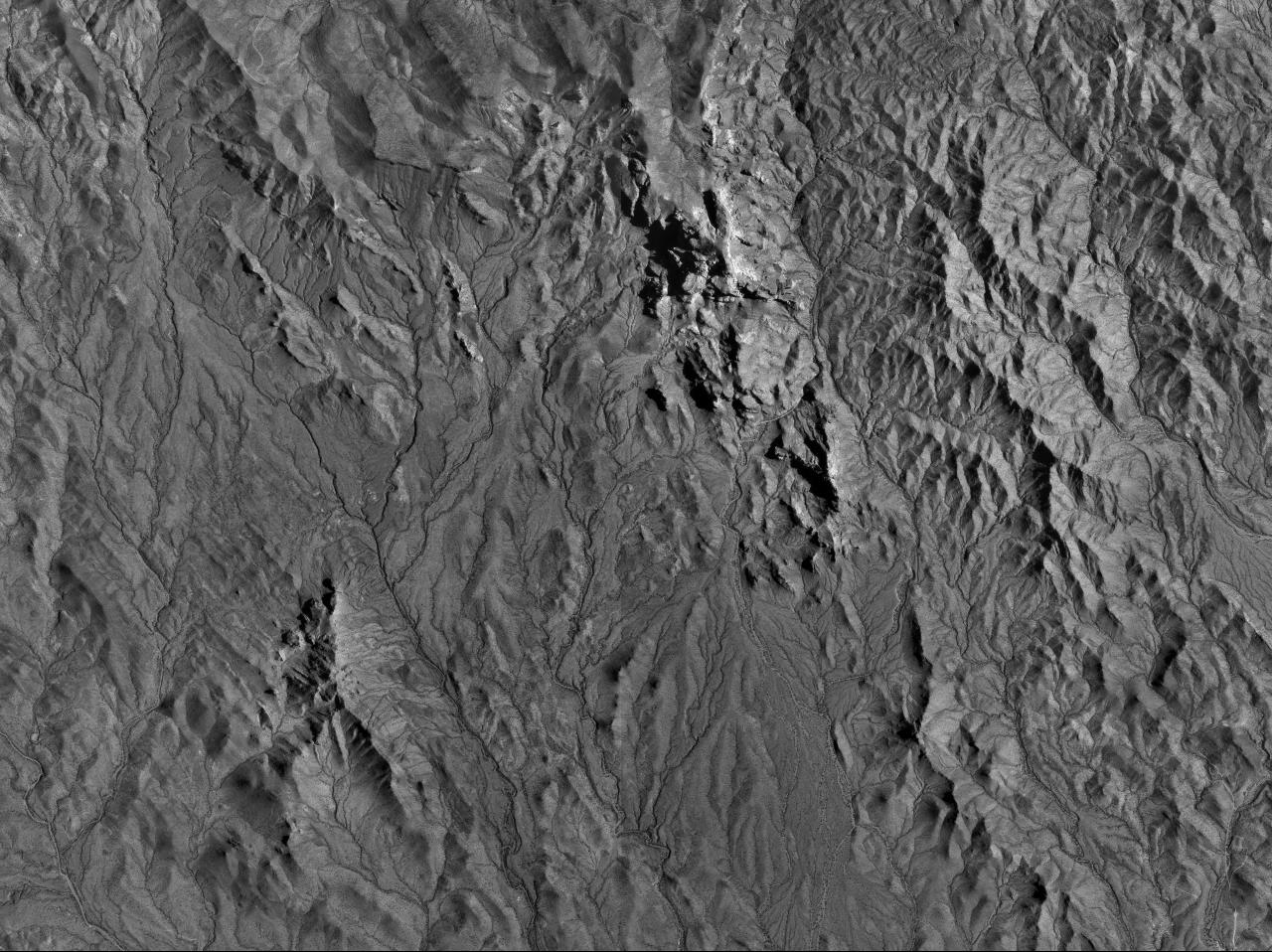
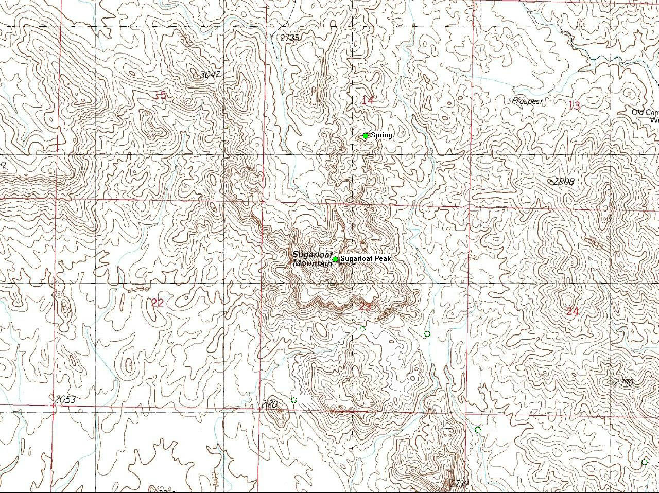
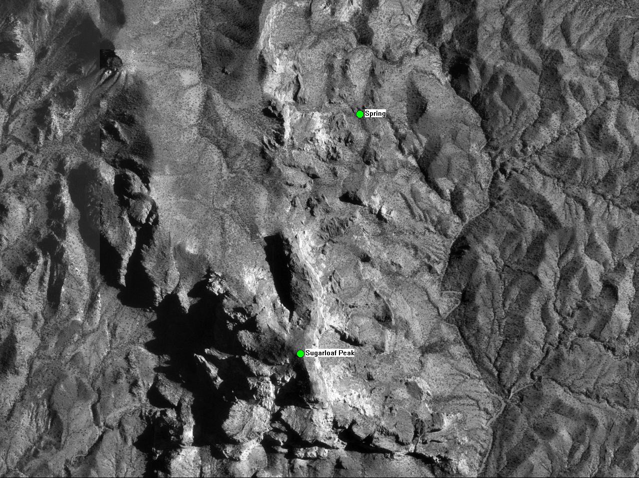
We got back to camp a little before one o'clock, rested and ate lunch, then headed out with the intended goal of climbing to the top of Sugarloaf Peak, standing 3418 feet tall (about 1500 feet above our current elevation). After only a few minutes of hiking we diverged from our planned route to get to the base of the mountain, and basically set out right through the middle of the mountain range that stood between our camp and the peak. This made the hike more interesting and challenging, but also delayed us quite a bit.
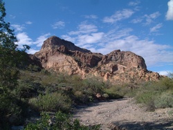 By the time we got to the wash that lead us through the saddle and around to the eastern side of the mountain it was mid-afternoon. As we approached the mountain, the peak loomed larger and larger, and an easy route to the top started looking more and more remote.
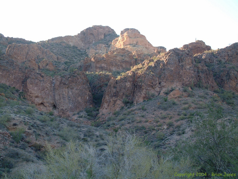
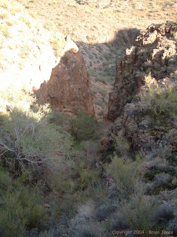
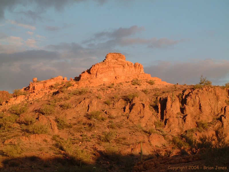
  It was well after three o'clock by the time we found a narrow steep canyon that looked like it might provide an initial stepping stone to the peak (which, by the way, was the place I thought might make a good attack route from the USGS map and aerial photos). We scrambled up through thick brush and eventually broke through to somewhat flatter terrain. By this time it was very clear that there was no way that we could safely achieve the peak and get back down before dark, so we plotted a new route back down the mountain and headed home.
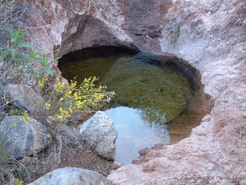
Heading down the mountain we found a flowing spring that isn't shown on the USGS quad map. It wasn't flowing very much, so I definitely wouldn't count on using it as a water source, but it might be an emergency source of water. The spring can be found at the following coordinates: 310107 E, 3729137 N, Zone 12. (Coordinates are in UTM format, using the NAD27 datum).
We then followed the main wash south almost all the way back to camp, where we enjoyed another beautiful evening. On the way home, Jeff spotted another animal . . . a baby tarantula that, for once, he didn't almost accidentally step on. Our afternoon adventure took us about 6.5 miles round trip.
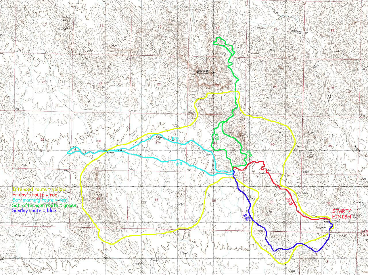
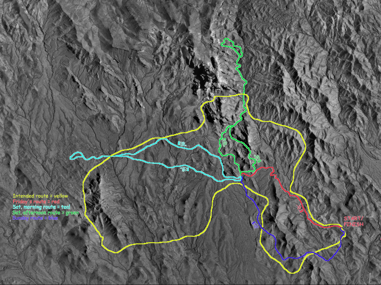
Below are various maps of the trip.
Day 1 | Day 2 | Day 3