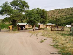
 Leading up to this trip, I was very excited, not only was it my first backpacking trip of 2005 (despite my good intentions of having several trips under my belt by May), but I was going to get to spend some time with an old friend that I hadn't seen in years. So Shannon (my wife), Jerry (my boss) and myself (myself) left Tucson at around 3:30 Friday afternoon and drove to Glenwood, NM, where we met Steve "Estevan" Lucero (the friend and former co-worker I hadn't seen in far too long) at the Double T Homestead. By all accounts, the Double T proved to be an excellent and reasonably priced place to stay.
We had stopped in Safford for dinner, so it was moderately late in the evening by the time we got there, so Shan went to bed and I went over to the two room "guest house" that Estevan and Jerry were sharing where we talked about our trip over some beers and (for me) wine coolers. At around 10:30 or so, I headed back to my room and got some shut-eye.
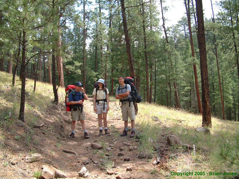
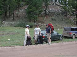 We were on the road by 7:30 (Arizona time) Saturday morning, for the hour-plus drive to Willow Creek Campground and the trailhead. On the way we passed the sleepy town of Mogollon, a former ghost town turned artist colony/tourist destination. We didn't stop, but it seems to be quite an eclectic little town. We got stuck behind some slow traffic on the dirt road after Mogollon, so it was about nine o'clock by the time we got to Willow Creek Campground (725000 E, 3698200 N Zone 12).
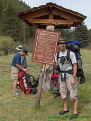 At that point we discovered that the trailhead is on the other side of Willow Creek, which was flowing pretty swift and cold. So once we got our gear all ready to go, we put on our sandals and waded across the Willow Creek, then another smaller creek before donning our boots for the climb into the Gila Wilderness. Once again, I encountered my favorite sign. Wolf Country!
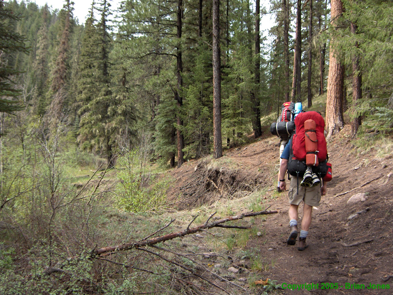
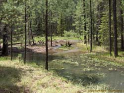
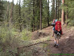 The first part of the hike is fairly steep but only lasts a half-mile or so before it flattens out, then eventually descends down to Iron Creek (725900 E, 3697200 N). At the top of the climb is Iron Creek Lake, which is really hardly even a pond. A more appropriate name would be Iron Creek bog, though there was standing water in it. The "lake" couldn't have been more than a foot deep I imagine. When we got to the lake, Jerry and I noticed someone coming towards us who looked very familiar. It turns out that an engineer that we often work with at the county was spending a week in the wilderness with his family and was hiking back to the campground to meet his daughters. It's not like we were on the other side of the planet, but it was strange to see someone we knew in such a remote location. We chatted for a while then headed our separate ways.

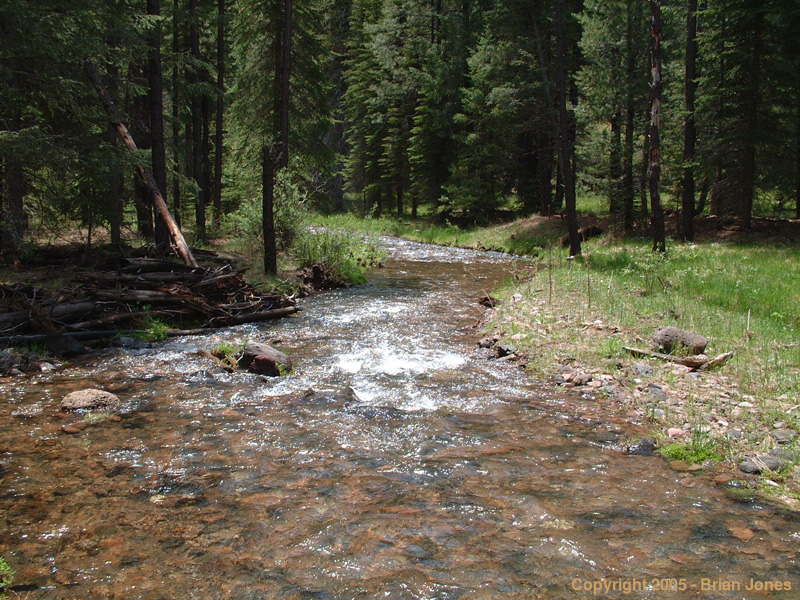
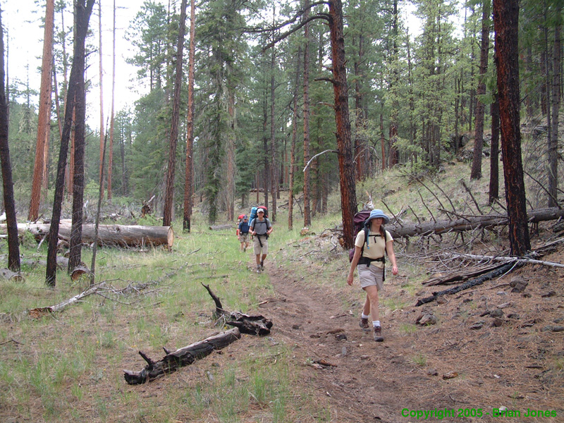
 We quickly descended into the Iron Creek watershed (726400 E, 3695900 N), which is an idyllic little place, as the creek drops clear and clean over rocks and fallen logs down to the Middle Fork of the Gila River. The ponderosa pine forest in the Gila Wilderness is refreshingly healthy, and I imagine much like it was before logging so severely altered much of the other ponderosa stands of the southwest. For the most part, the trees are large and spaced well apart, with various grasses and wildflowers below them.
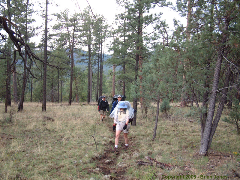
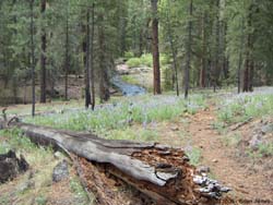
 The whole area is shaded, but open and airy. A closed space with a sense of boundlessness. That is the Gila. We ate lunch sitting on the banks of Iron Creek. With the clouds building, I decided it would probably be a good idea to pull out my emergency parka and put it in a handy place. Shan looked for hers too, but couldn't find it. It turns out she had left it at the car.
 Leading up to this trip, I was very excited, not only was it my first backpacking trip of 2005 (despite my good intentions of having several trips under my belt by May), but I was going to get to spend some time with an old friend that I hadn't seen in years. So Shannon (my wife), Jerry (my boss) and myself (myself) left Tucson at around 3:30 Friday afternoon and drove to Glenwood, NM, where we met Steve "Estevan" Lucero (the friend and former co-worker I hadn't seen in far too long) at the Double T Homestead. By all accounts, the Double T proved to be an excellent and reasonably priced place to stay.