


Added 21 November 2016
Arizona Trail Passage 9: Rincon Mountains- Hope Camp to Italian Trap (and on to Redington Road)
 I awoke with a start at around 7:30 this morning.
  After a fitful beginning last night, I went in to log mode and got in a good, sound sleep.
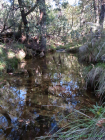
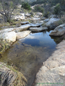
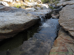
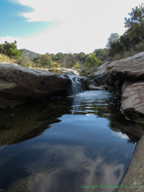
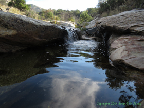
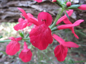
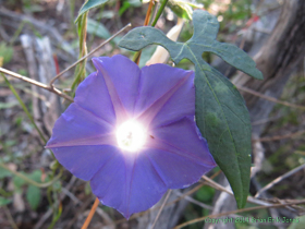
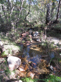
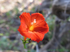
 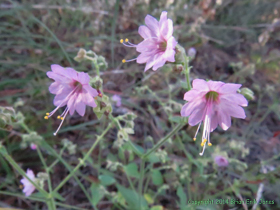 I ate breakfast and got my gear packed up and, seeing that it would be awhile before Jerry and Cheetah were ready to go, grabbed my binoculars and camera and wandered around the area. There was surprisingly little avian activity, but the wildflowers provided plenty to focus on, not to mention the stream itself. It was a perfectly enjoyable morning.
|
|
|
|
|
|
|
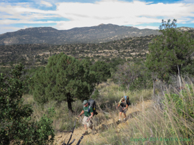
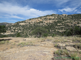
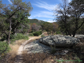
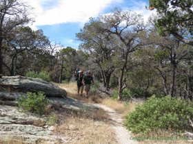
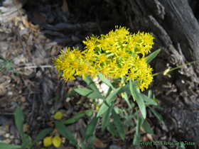
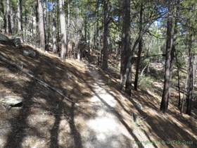
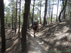
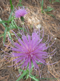
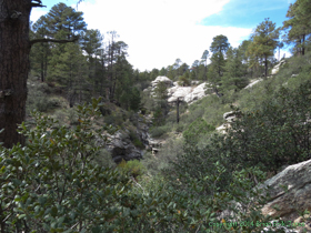
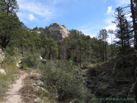
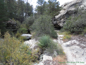
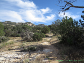 We didn't start hiking until 9:30 this morning, which was even later than yesterday. I was less concerned about a late start though, since we were starting from a cooler elevation. Even so, the first part of the climb was rather warm and the late start ended up being a bit of an issue at the end of the day. Once we got above about 6000 feet, it became noticeably cooler and breezier, which made the climb much more pleasant. Oh, and about that climb . . . In the first 3.5 miles, a guy who'd lost a serious fight with a table saw could have counted the number of flat or downhill sections of trail on his few remaining digits, and even those sections were no more than 25 feet long. Starting right from Grass Shack campground the trail climbs relentlessly over 2,200 feet to the first trail junction, and there's still nearly another 1,000 feet of climbing from there. We averaged a scant 1 mile per hour on the climb. We certainly couldn't complain about the scenery though. It was a beautiful stretch of trail, and there were still wildflowers to look at as well.
|
|
|
|
|
|
|
|
|
|
|
|
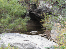
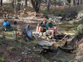
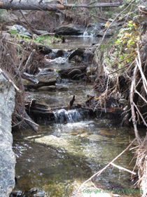
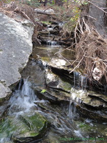
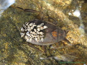
We had lunch at the trail junction, then stopped again when we reached Chimenea Creek so Jerry and Cheetah could top off their water supplies until we got to Italian Spring, where we planned to filter enough water to get us through to the end of the passage. As usual, I got distracted by the creek and wandered down it a bit while they filtered water. It was small, but very pretty. I became fascinated by a male Giant Water Bug (Lethocerus americanus) with egg sacs on its back, though most of them had already hatched. In this species, it is the male that carries the young around to protect them. And protect them, he will. Giant Water Bugs are known to have one of the most painful bites of any insect and they will even kill and eat baby turtles and snakes.
|
|
|
|
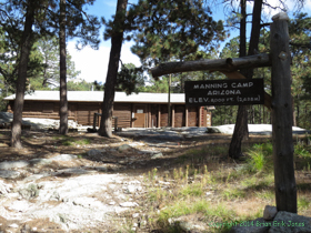
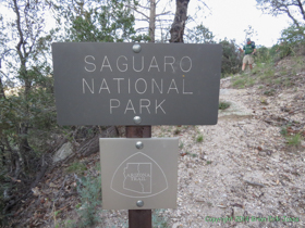
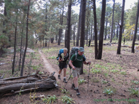 It's a short stint from there to Manning Camp, but it was two o'clock by this point, and Cheetah was the first to realize that we were quickly running out of day, with a fair number of miles yet to go before reaching our intended destination near Tanque Verde Creek. It wasn't long before we realized that we weren't going to get very far beyond the northern boundary of Saguaro National Park before dark, and that we'd have to try to find a place to camp while still in relatively steep terrain.
|
|
|
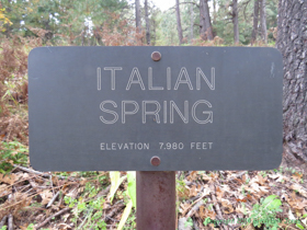
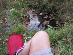
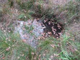 We made a fairly quick stop at Italian Spring to filter enough water to get us to the car we left at Redington Road. I fully expected to find water in Tanque Verde Creek in the morning, but expecting and trusting are two different things so we all topped off our water supplies. Though I suppose it could certainly be argued that we put our trust in Italian Spring, which isn't the most reliable source of water. Indeed, there was less water at Italian Spring than I expected, with just a small pool of water about three feet across and less than 6 inches deep, but there was plenty for our needs. Since our pull of 3+ gallons didn't have a noticeable effect on the water level, I suspect we could have pumped until we were too exhausted to continue and still not exhausted the supply.
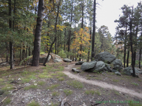
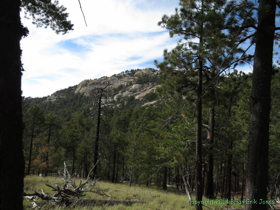
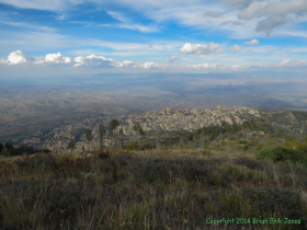
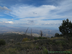
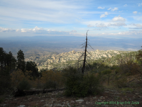
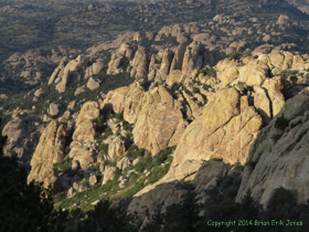
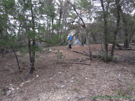
From the high point, the trail plummets 1,900 feet in the 2.5 miles to the park boundary. Given the condition of Italian Spring Trail (not great), it was a descent that, combined with over 3,200 feet of climbing, took its toll. We found a decent camp site about 1/4 mile outside the park and happily dropped our packs.
|
|
|
Our impromptu camp was about 1,000 feet higher than Grass Shack Campground and when we arrived it was already cooler than it had gotten down to the previous night. I hoped the temperature wouldn't drop too much in the night. As we had dinner, some clouds rolled in, which probably helped keep the night time temperature up a bit. Regardless, it remained comfortable all night long.
|
|
|
 |
 |