|
The plan for Day 3 was Top of the World and Steel Bender. As it turns out, we didn't make it to Steel Bender. We most certainly made it to Top of the World though, and there wasn't a single person in the group who wasn't completely satisfied that we did!
We got there by heading north out of Moab to Highway 128, then following the Colorado River 29.8 miles to just before the Dewey Bridge. There are actually two bridges there now. The highway goes over the new concrete bridge, but just up-river is the historic bridge, which has recently been restored. It stands today as the longest suspension bridge in Utah, and makes an interesting stop right at the beginning of the dirt portion of the trip.
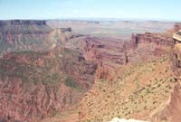
From the Dewey Bridge, Entrada Bluffs Road heads south to the start of Top of the World Trail. Entrada Bluffs Road took us by some interesting sandstone formations. The best was yet to come though. After about 5 miles on Entrada Bluffs Road, we started climbing up Top of the World proper, and the road got more interesting. At one point, we got a good view of where we had just come from, but the best was still yet to come. There were some ledges to negotiate on the trail, but nothing terribly difficult, and the entire group wound it's way up to the top of the trail without problems. A small group of us must have been more anxious than most to reach the end of the trail, because we arrived about 10 minutes ahead of everyone else. I'm glad we got that extra 10 minutes!
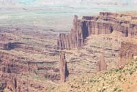
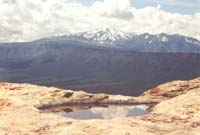
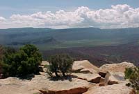
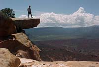
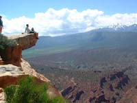
The best word to describe my reaction to getting to the overlook is awestruck. I will never return to Moab again without doing Top of the World trail. The pictures I took up there don't do justice to the views. Nothing could. Poets might come close, pictures might make approximations, an artist could make an attempt, but that's all they would be.
|
|
|
|
|
|
|
|
It was with great reluctance that I left Top of the World. I seriously considered staying up there for the remainder of the day and having the rest of the group move on without me. In the end, I stuck to my duties, and lead the group back down the mountain. Once back to the main road (Entrada Bluffs Road), the group split up a bit. Rick and Maris went to Arches National Park, Steve and Anita went back to Moab, and the rest of the group went with me.
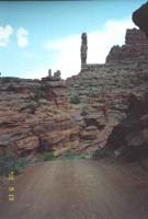
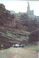
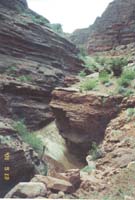
Not having enough time to do Steel Bender, we decided to do some other trails near Top of the World. We started out by doing Onion Creek, a very easy but beautiful drive on a graded dirt road paralleling Onion Creek.
|
|
|
|
|
From here, we got to see Top of the World from the Bottom up. I still can't decide if Top of the World looks taller from the top or the bottom.
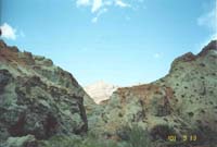
To complete the loop, we made our way to Thompson Canyon Trail. We did end up taking an unplanned side-trip first though. Once again, Jeff and I got the group lost, and we ended up on Rose Garden Hill Trail instead of Thompson Canyon Trail. We didn't realize our error until we approached Rose Garden Hill. The trails book I had made Rose Garden hill sound much more difficult than it appeared to me. I am very confident that I would have had no problem climbing the hill, and that everyone could have made it with some care, but we still wanted to do Thompson Canyon, and with the day growing short, we decided to turn back around at that point and get on the correct trail. One benefit of the little excursion was that Steve Smith finally found some mud to play in. He was like a kid in a candy store. It was here that he got his nickname: MR. CLEAN.
|
|
|
We did find our way to Thompson Canyon Trail, and also found it to be much easier than the book indicated. I did the entire trail in 2-wheel drive, which doesn't qualify it for a moderate rating in my opinion. It was still a nice trail though, as it led us to views of Castle Valley from different angles. Eventually the trail took us up to some higher elevations on the La Sal Mountains, were we got into large ponderosa pine trees, aspens, and even a couple of small patches of snow. It was quite a change from the warm desert below. Since that night was the last night for a number of folks at ZafaRi2001, we ate out as a group again, this time at La Hacienda, where we had great Mexican food.
That night, we got back to camp pretty late, and since we were really tired, we got our gear packed up as quickly as possible in preparation for leaving for the White Rim Trail trip early Tuesday morning. The Steve /Joe combination packed up and left that night, and Jack/Pedro and Randy/Lara left Tuesday morning. That left five vehicles, all going on the White Rim Trail for a two-day trip.
|


